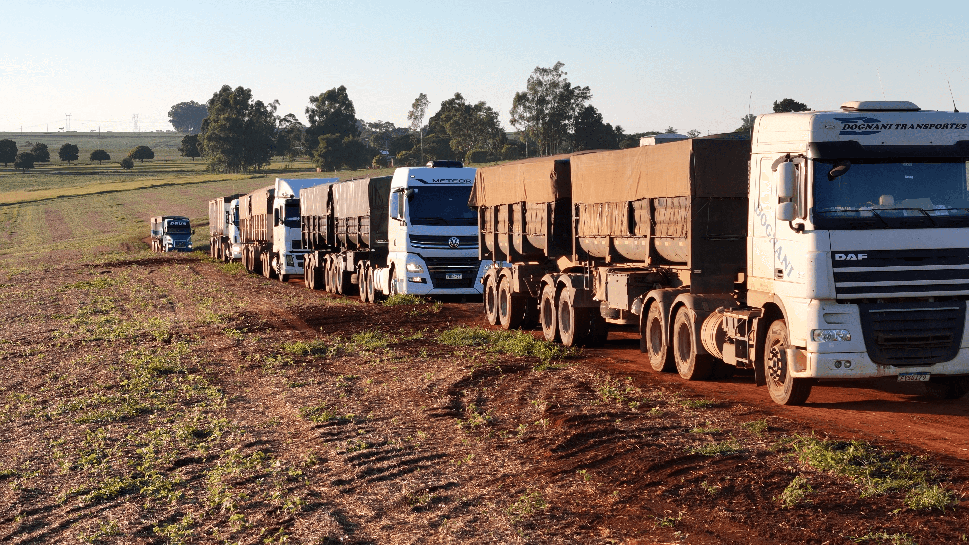
Five years of earth science at scale.
Data quality starts in the field. Great models need great measurement — so ours begins with the most rigorous field-data program in ERW.
At our Sentinel Site, we ran the most comprehensive scientific monitoring ever deployed at a commercial ERW project — the ground truth behind everything we build.
THE SUBSURFACE
INTELLIGENCE PLATFORM
Proprietary datasets, informing subsurface intelligence models.
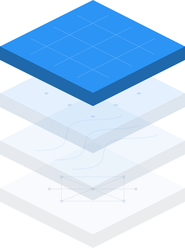

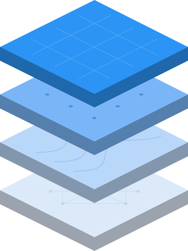
Identify
The platform maps where rock, soil, climate, and hydrology combine to engineer projects that remove carbon durably and predictably.
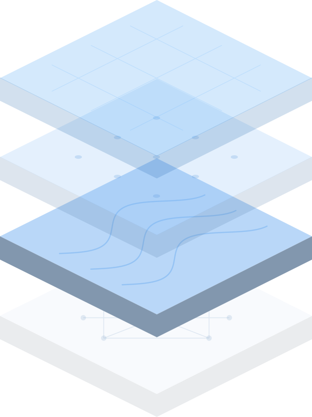
Optimize
It determines the optimal project design, weighing feedstock, grain size, application rate, and timing to maximize removal and agronomic benefit for each field.
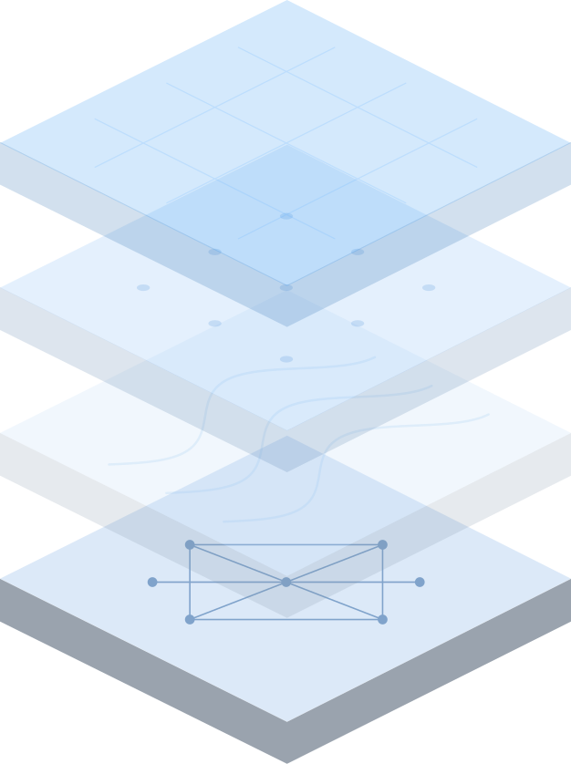
Verify
It quantifies the carbon removed across the whole system, soil, water, and the fate of the weathering products, ready for independent validation.